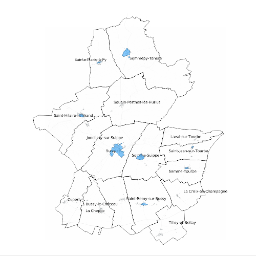
Zonage d'assainissement eaux usées
Résumé : Cette carte vous permet de connaître la zone d'assainissement eaux usées (Collectif ou...
Liste de mots clés :
Projection : EPSG:3949
Emprise : 1776083.51577174686826766, 8198697.55440545454621315, 1848288.75992067786864936, 8239295.80159211531281471

